
Terrain intelligence
See the land as a system.
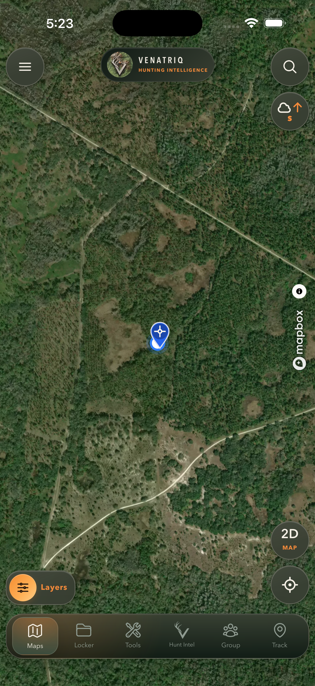
Move between satellite, topo, LiDAR, contours, relief, public land, wetlands, trails, and your own map content without losing geographic context.
Available now for iPhone and iPad
Read the terrain. Work the wind. Keep your field evidence and hunt plan together on the map built for the way hunters actually move.
Android testers wanted: accepted testers get 30 days of Apex access with no payment method or auto-renew enrollment. See the invitation details.
Android testers wanted
We’re inviting Android hunters to test VENATRIQ before its Google Play launch. Accepted testers receive one free month (30 days) of Apex access, issued manually after acceptance. No payment method or auto-renew enrollment is required for the testing offer.
Tell us your Google Play email and Android device model. If you already have a VENATRIQ username, you may include it too. Never send your password or location.
Public Google Play launch is coming soon. Accepted testers receive a private Play testing invitation.
The platform
VENATRIQ keeps terrain, environmental conditions, scouting evidence, and recommendations connected to the same map. Less tab switching. Better context where the decision happens.
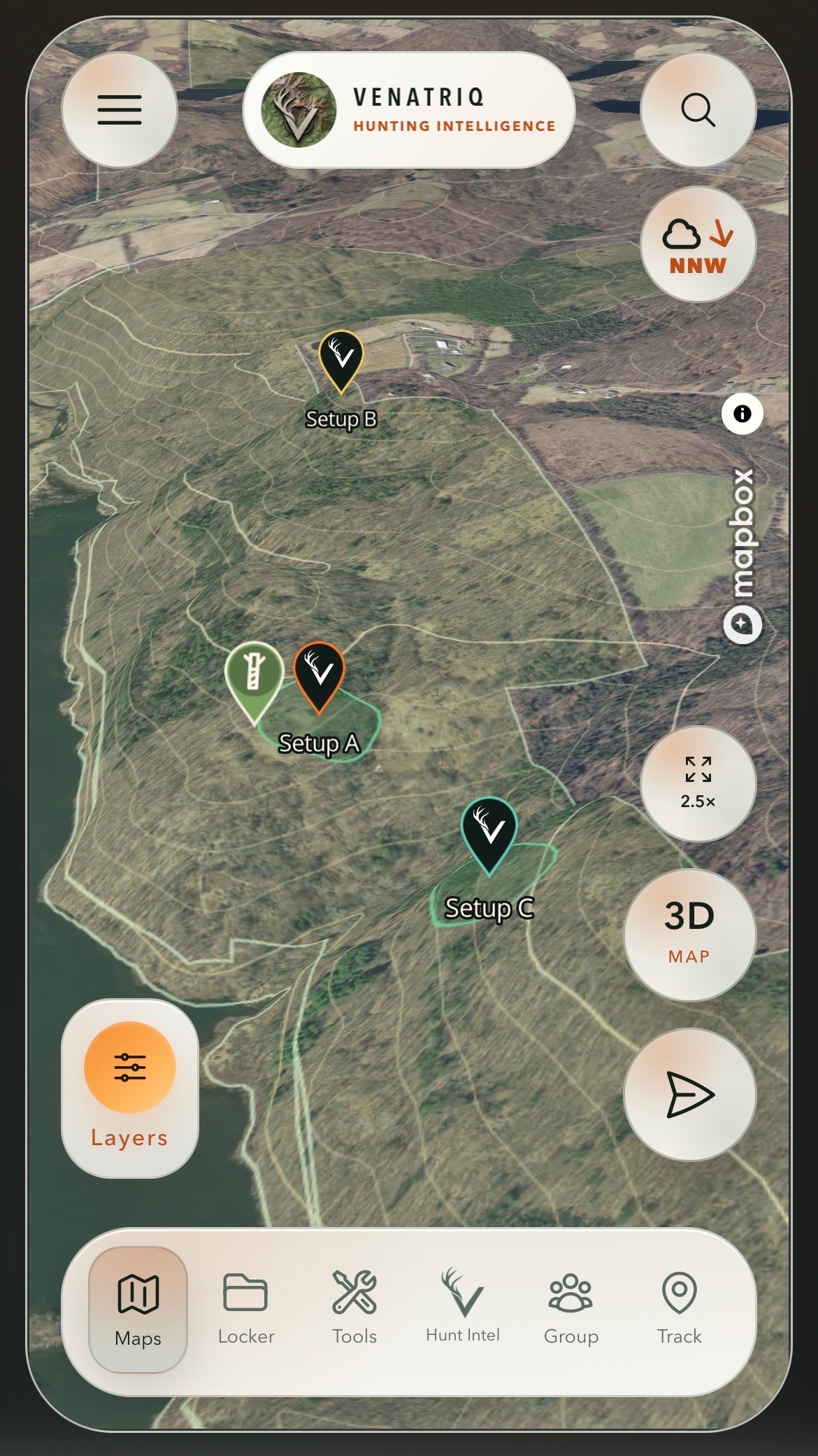
Pins, tracks, photos, boundaries, and observations stay tied to real coordinates.
Wind, weather, light, and terrain context shape the recommendation instead of sitting in a separate tab.
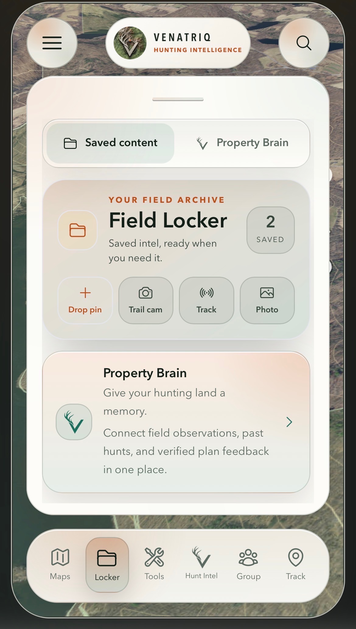
Property Brain keeps each property separate and learns only from the field evidence you choose to save.
VENATRIQ Intelligence
The AI layer is grounded in structured map, weather, species, weapon, access, and private field context. When evidence is incomplete, confidence drops instead of certainty being invented.
Terrain intelligence
Move between satellite, topo, LiDAR, contours, relief, public land, wetlands, trails, and your own map content without losing geographic context.
Species-aware planning
VENATRIQ evaluates species, weapon, range, time, wind, terrain, access, saved evidence, and uncertainty before placing map recommendations.
Field memory
Keep sightings, rubs, tracks, photos, routes, outcomes, and property notes organized so useful patterns can emerge without inventing evidence.
Inside VENATRIQ
Explore real VENATRIQ app screens and previews of the upcoming update. Release previews are labeled so you can tell what is available today.
Swipe through the screens, or use the arrows to explore each field tool.
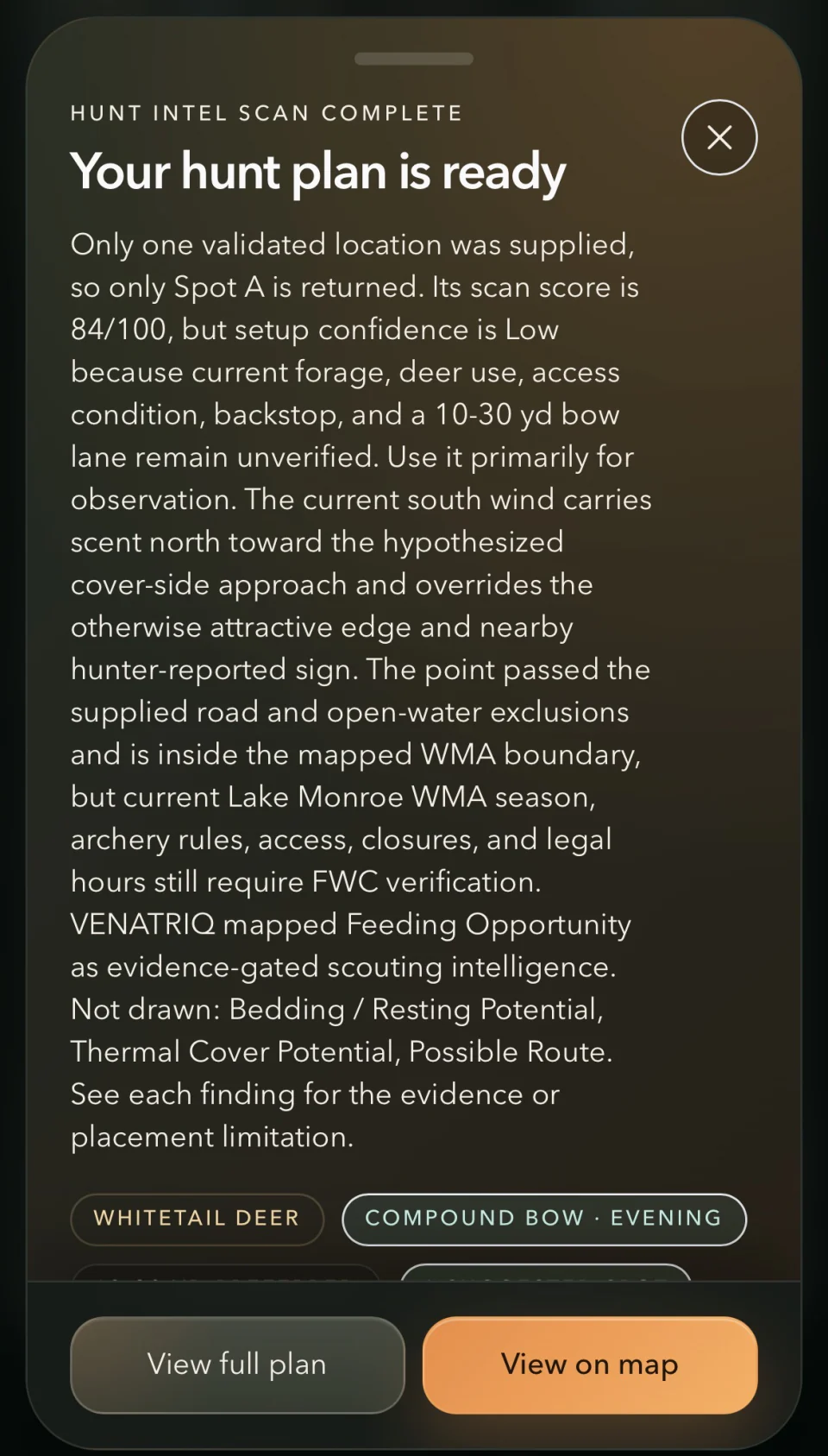
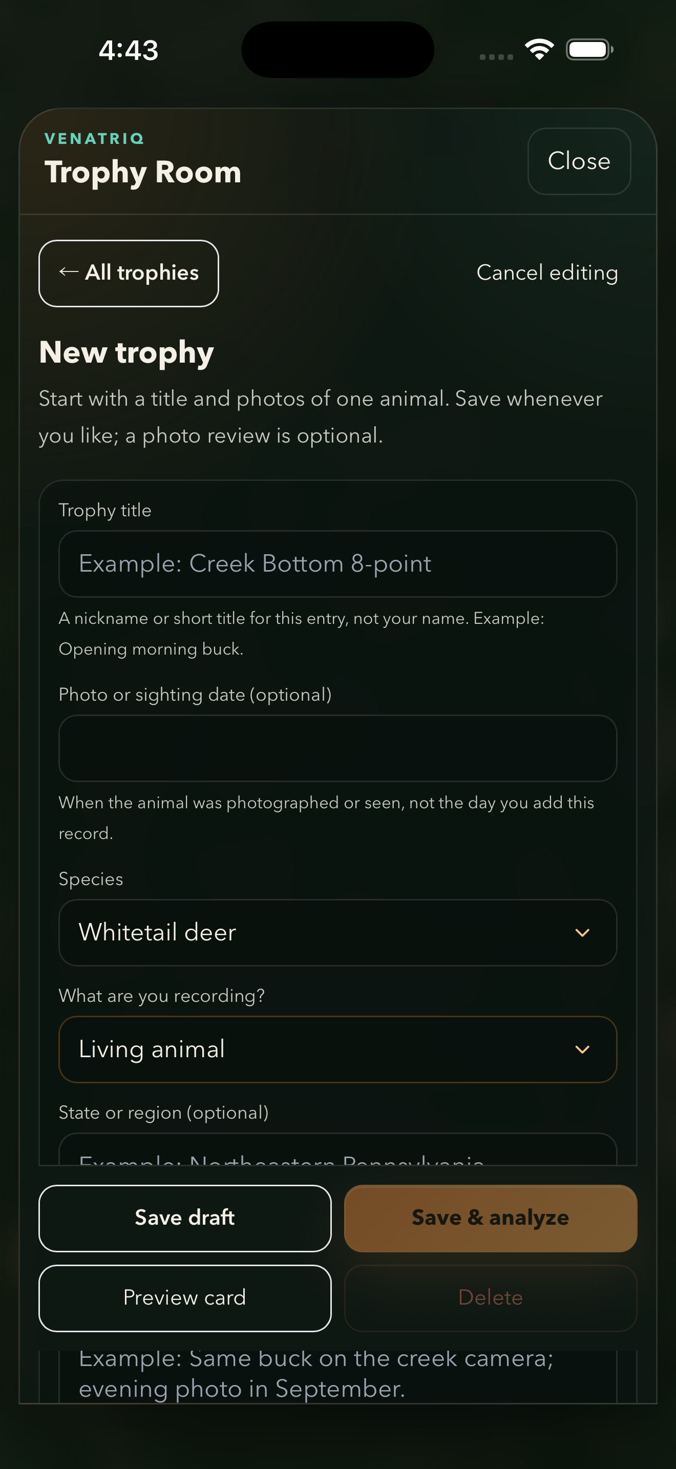
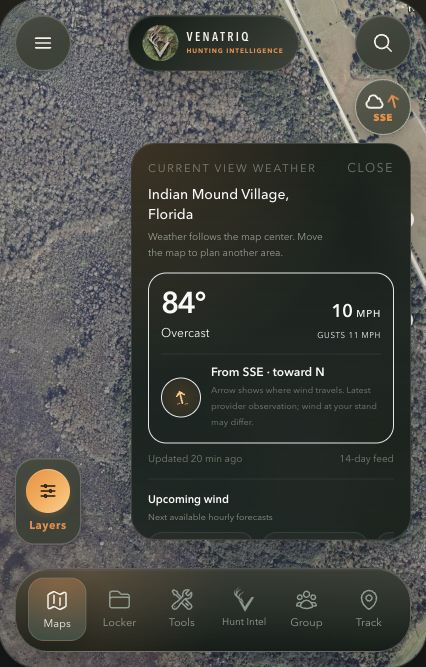
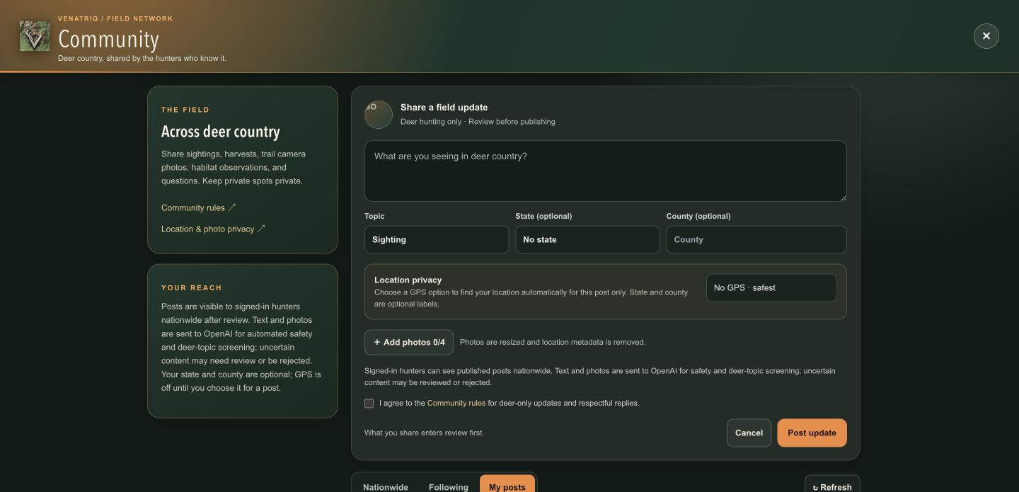
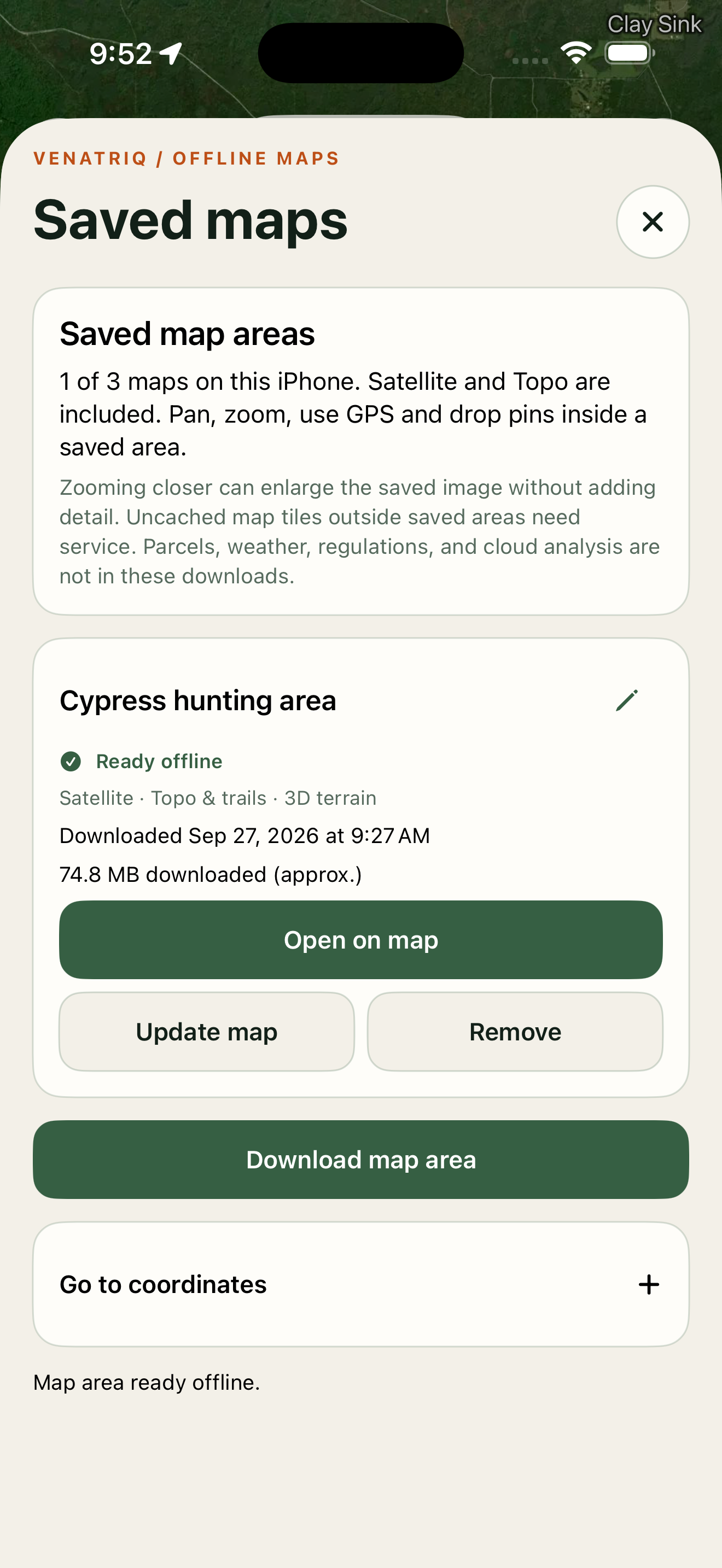
1 of 6 screens
Made for the field
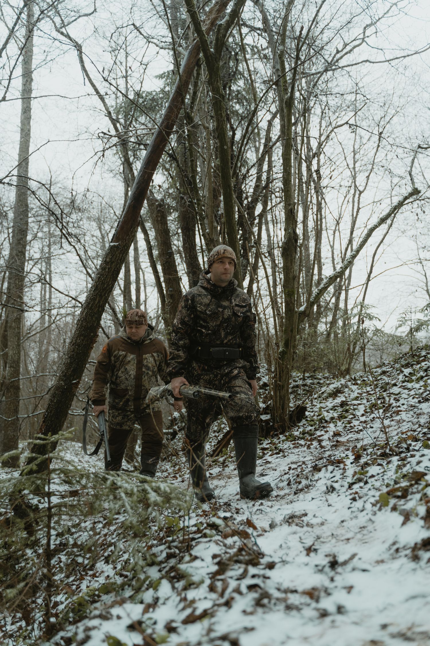
Build a private hunt room, share purpose-built pins, post field updates, and choose when live location is visible. Everyone works from the same geographic picture without giving up their personal map archive.
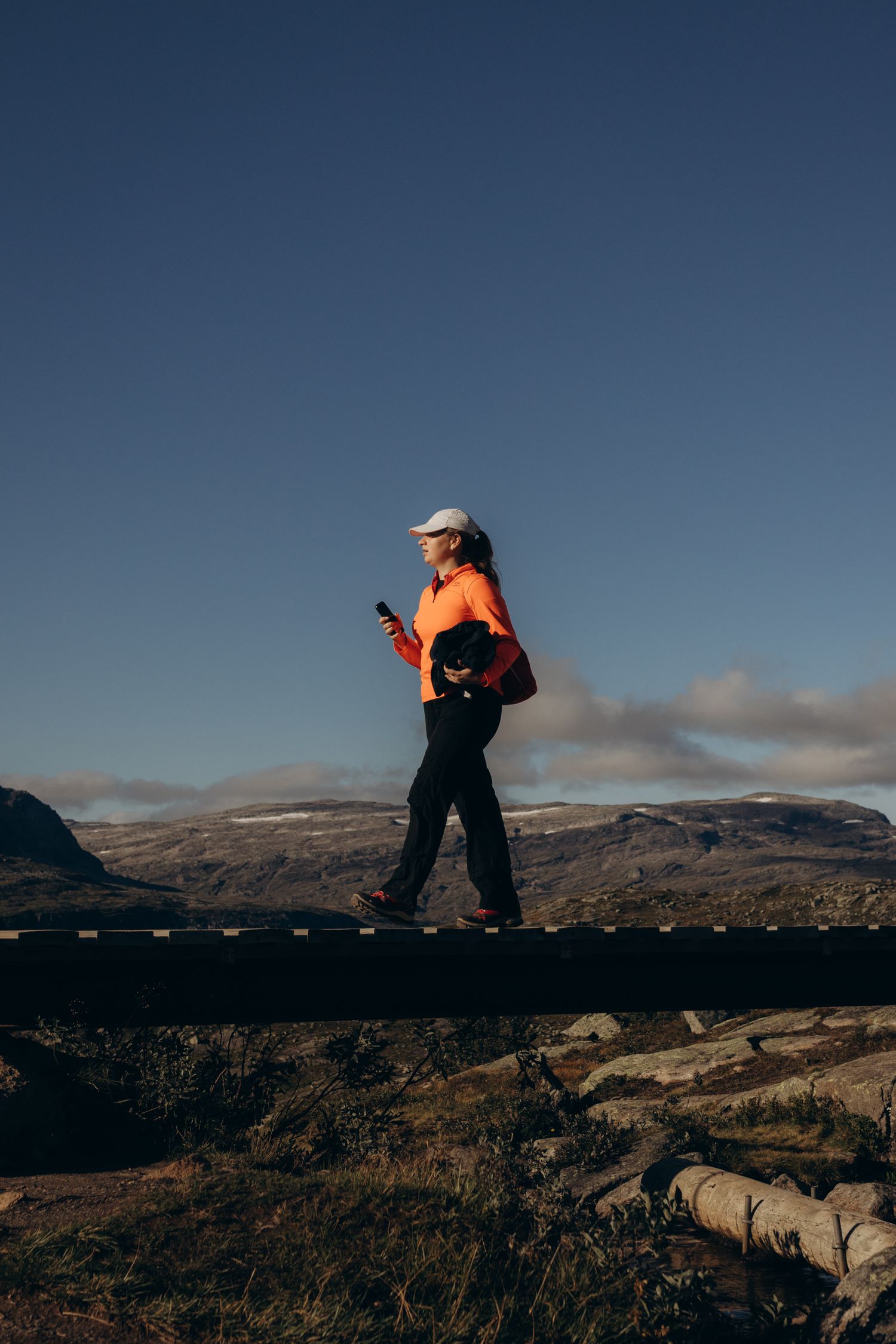
A continuous field loop
Study terrain and layer real field evidence over the map.
Build a weather-aware, weapon-aware hunt strategy.
Navigate, track, share, and make decisions in the field.
Record outcomes so private property intelligence improves.
Simple membership
Explore Free, Scout, and Apex. Membership availability, pricing, and billing are shown in the iOS app and App Store; this site does not enroll you in a subscription.
Start exploring
Get to know the land and save your field notes.
Build your season
Turn your favorite hunting grounds into a repeatable plan.
Go further
More land, deeper intelligence, and room for your whole crew.
The iOS app and App Store show current membership availability, pricing, taxes, and subscription terms before enrollment. AI allowances reset monthly, including annual plans. Coverage varies by location. Existing member? Manage your current account.
Questions, answered
Clear capabilities, clear limitations, and no fake certainty.
VENATRIQ combines a professional map with species-aware planning, current conditions, private property memory, and your saved field evidence. The goal is not only to show terrain, but to help you understand why a setup may or may not fit the hunt.
Yes. Hunt Intel can propose ranked setup locations and supporting habitat intelligence using real geographic coordinates. Recommendations are evidence-gated, clearly marked as AI-generated, and include confidence and important uncertainty.
VENATRIQ supports multiple terrain views, including satellite imagery, topographic context, LiDAR where coverage is available, contours, hillshade, and adjustable 3D terrain relief.
Saved field content is private to your account unless you deliberately share it. Group Hunt sharing is scoped to the hunt room, and live location remains under your control. Review the Privacy Policy for complete details.
Yes. Group Hunt is designed for private hunt rooms with shared pins, messages, field updates, and optional live location so a team can coordinate from separate phones.
No. Boundaries, roads, regulations, weather, and AI output are planning aids. Hunters must verify landowner permission, agency maps, current regulations, closures, and field conditions before acting.
VENATRIQ is available on the App Store for iPhone and iPad. Android testing is being arranged now; use the invitation on this page to ask to participate. The former web beta is closed to new access.
Existing production accounts and saved data are retained for the future Google Play launch. Testing environments are separate. You can use your same existing account when the Android app launches on Google Play.
The map is only the beginning
Available on the App Store for iPhone and iPad. Android testers are being invited now.
Explore Android testing